Brook of Egypt
Where it is
31.03° N, 33.85° E · river: now Wadi al Arish; http://en.wikipedia.org/wiki/Brook_of_Egypt
Mentioned most in
About this place
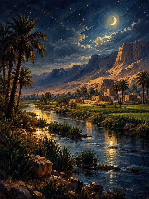
The Brook of Egypt, also known as Shihor, was a waterway that marked the southwestern boundary of the Promised Land. It is mentioned in several passages describing the extent of the Israelite territory (Numbers 34:5; Joshua 15:4, 47; 1Ki.8.65; 2Ch.7.8; Ezk.47.19; 48:28). The Brook of Egypt is generally identified with the Wadi el-Arish, a seasonal stream that flows into the Mediterranean Sea near the modern border between Israel and Egypt.
In Joshua 13:3, Shihor is described as being "east of Egypt," suggesting that it was a separate body of water from the Nile River. However, in Isaiah 23:3, Shihor seems to be associated with the Nile, possibly referring to one of its eastern branches. The Brook of Egypt served not only as a geographical boundary but also as a symbol of the extent of God's promise to Israel and the limit of their conquest. During the reign of King Josiah, the Brook of Egypt was mentioned as the southern limit of Judah's territory (2Ki.24.7).
Every mention
Numbers1 mention
Joshua3 mentions
2 Chronicles1 mention
Isaiah2 mentions
Ezekiel2 mentions
Sources
- STEPBible TIPNR · Translators Individualised Proper Names with all References · CC BY 4.0 · github.com/STEPBible/STEPBible-Data
- OpenBible.info Bible Geocoding · CC BY 4.0 · www.openbible.info/geo/